FKT Report: The Suffern Bear Mountain Trail in New York by Ben Nephew
Date: December 27th, 2015
Location: Bear Mountain & Harriman State Park, NY.
Adventure: Suffern Bear Mountain Trail, North to South, 23 miles, 6,500 feet elevation gain.
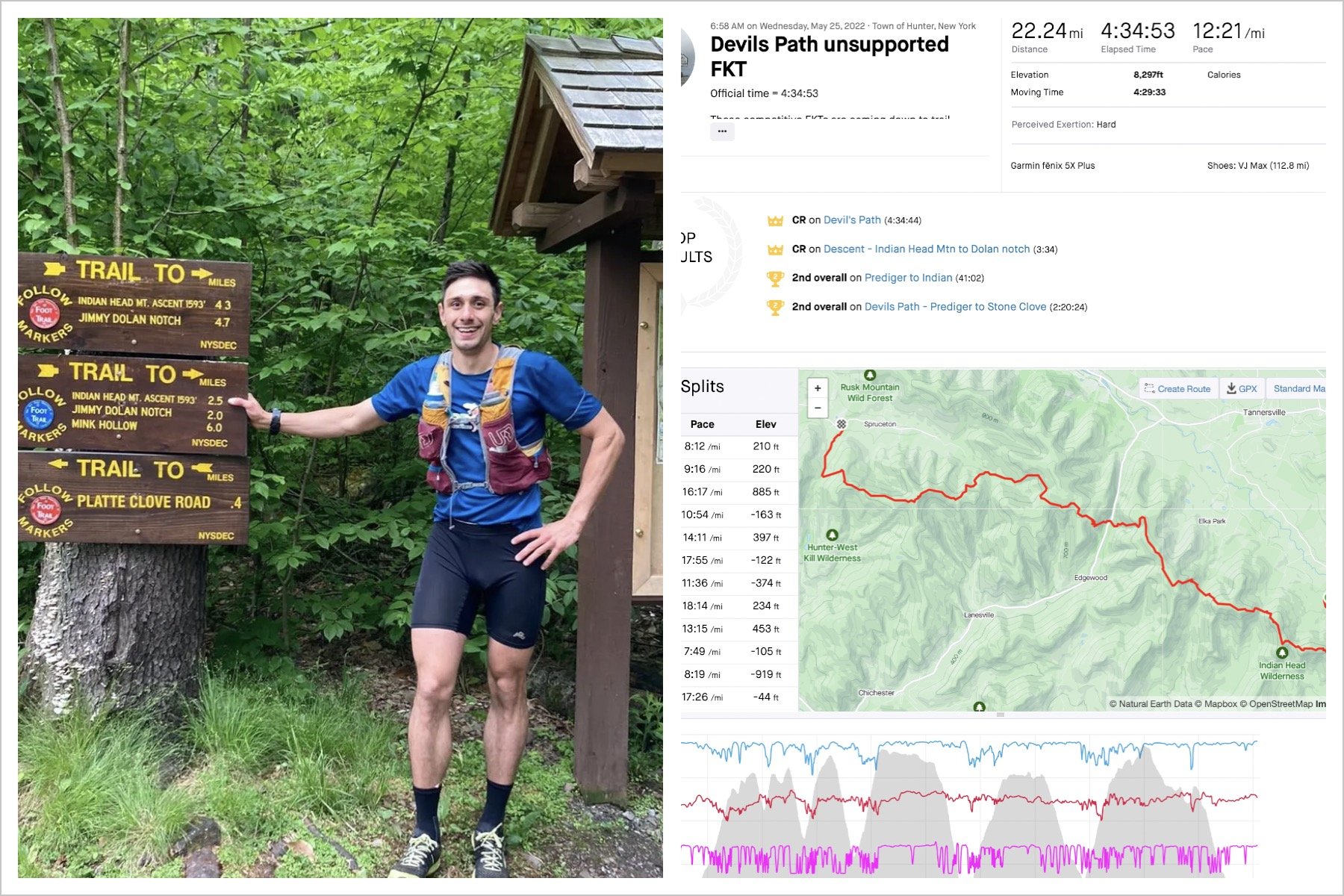
My team bosses at Mountain Peak Fitness, the Azze's, mentioned this trail a while ago and it started to get some FKT attention not long after, with Ryan Witko posting a time of 5:35 and Chris Rice bringing it down to 5:23 (despite breaking his hand halfway through). I was thinking of attempting the FKT for this trail the weekend I ran the Devil’s Path if the conditions had not been suitable for a hard run in the Catskills. With this mild winter, the trails were still in great shape in Harriman for the holidays, so I set up a time to meet with Joe and Elizabeth, run the trail and talk shop. The SBM trail is a Hudson Valley classic at about 100 years old and one of the three long routes traversing Harriman & Bear Mountain State Parks (in addition to the Long Path and the Ramapo Dunderberg trail). These two parks have about 250 miles of marked trails, and another 100 miles of unmarked trails and woods roads. While it is listed at 23 miles, the actual length is probably somewhere between 24-25 miles. Much of the trail follows a major ridge overlooking the Hudson Valley. Despite being minutes from NYC and crossing a dense network of trails over the first half, this trail is quiet experience in the off-season.
Discussing route options with Elizabeth
Checking out the trail by the Zamboni
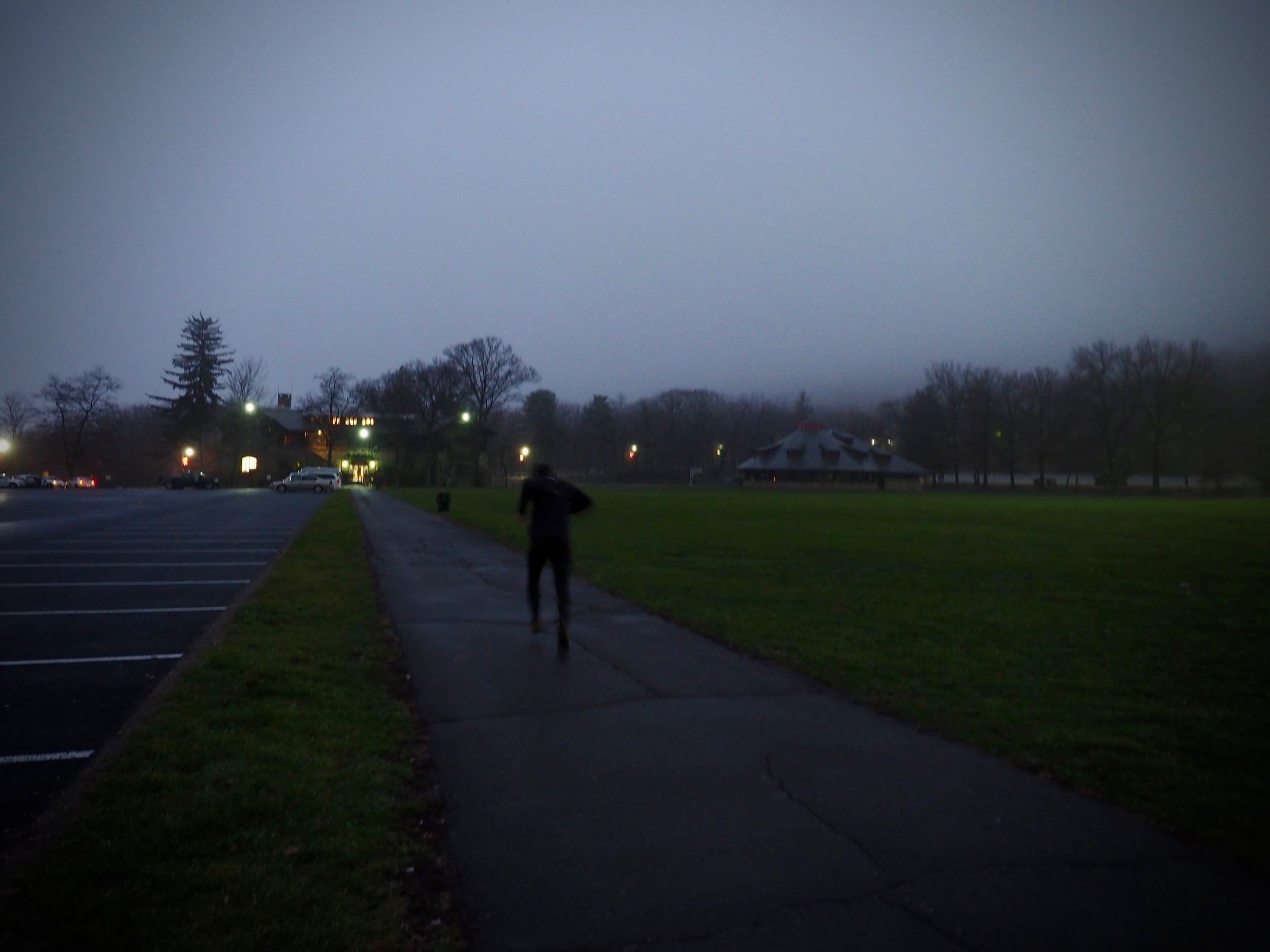
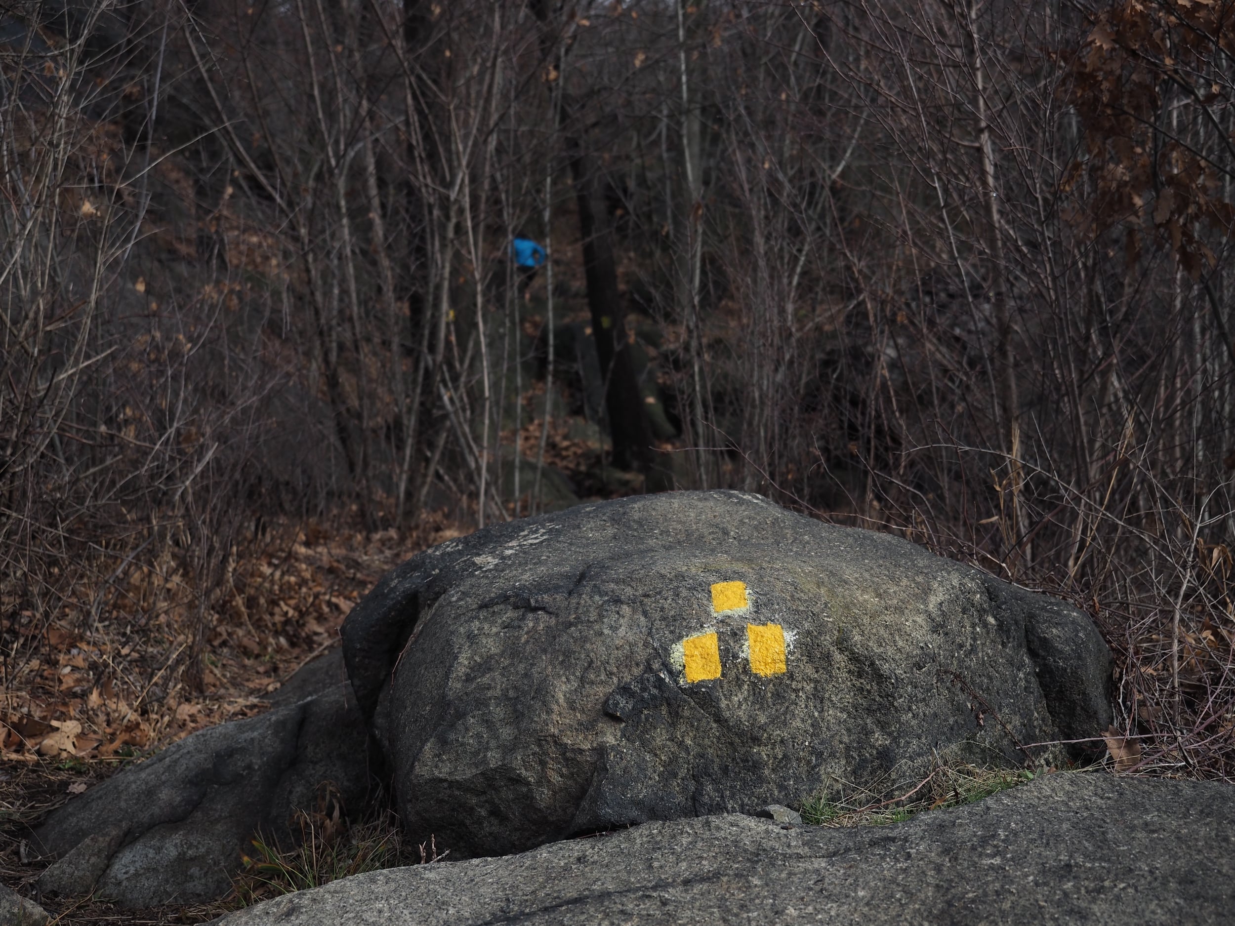
After debating on some alternate routes for the first section around Bear Mountain, I decided to stick to the yellow marked standard path that runs by the hill. Passing a Zamboni prepping an outdoor rink at sunrise is one of the more unique starts to an FKT run. Joe chasing me for a while with his camera, and then I was on my own through the fog. Bear Mountain has to be the east coast version of San Francisco; it seems to be incredibly foggy every time I run there. I was glad I waited a few minutes for some extra illumination, and I was also grateful for the bright yellow plastic trail markers. Despite plenty of intersections, the trail was very easy to follow as tracked natural features through the woods.
The first three miles has about 1500’ of climb up West Mountain, and I tried not to dig myself a physiological hole by being too aggressive on this early climb. Despite some recent rain, the trail was in good shape. Other than a few ledges, the grades were runnable, but the rocks in Harriman are particularly slick and I was happy I decided to wear the Orocs rather than a non-dobbed shoe. Based on the elevation profile I had expected a slow pace through the first half, and I was actually running faster splits than expected as my legs were rested from all the holiday travel.
Elizabeth had warned me about the descent of Pyngyp Mountain going north to South, but I was still shocked at the severity of the trail. It is very similar to the Breakneck Ridge trail with rougher footing and even greater exposure in a few places. If you can’t see the trail ahead, make a hard left unless you have a wingsuit. Keeping your left hand on the rock face is not a bad idea. After negotiating a couple of chutes, I was soon at the bottom of the hill and crossing the Palisades Parkway.
The next climb is a solid 800’ up Pound Swamp Mountain at moderate grades that allow for a steady pace. I had a bit of a Blair Witch moment in middle of the foggy woods when two figures appeared out of nowhere. Fortunately, it was only Joe and Elizabeth and I was able to avoid running off into the woods in fear. As I reached the halfway point in the run, there was some easy running on old carriage roads and I was expecting that the second half would be faster based on the elevation profile. I was quite wrong about that. The keys are to look at the elevation profile very carefully and be aware that the trail is consistently technical through these miles. There are no massive climbs, but there are countless momentum killing small climbs and descents, as well as incessant hard turns on tight singletrack. Looking at my pace graph, I had the most erratic pacing out of any of my similar distance FKT runs. It is certainly fun terrain, just not all that fast.
My Blair Witch moment...
The fog finally started to burn off and I was treated to some nice views from the edge of the ridge. In addition to the ridge views, the other reward in this southern section of the SBM is exposed rock slab sections that provide a short break from the ledges and boulder fields. The undulations were starting to wear me down, and I had to focus on getting back up to speed after the technical sections. Instead of massive climbs to wear you down, the SBM brings a barrage of rocky undulations. Similar to the Kinsman Ridge, the last climb never seems to come, and I thought I was on the final downhill before I had climbed Nordkop Mountain. I was able to finally open up the stride on the dirt road heading off the summit, but then the trail dives back into the woods and down a broken shoulder of the mountain that consists mostly of a jagged boulder field. I met up with Joe towards the bottom, and tried to see if I could get him to drop his camera as we scampered down the end of the trail. I finished in 4:16:17.
Based on comparisons with GPS files from other similar routes, the SBM is probably 24-25 miles with 7500’ of climb. If there is a trail that would under estimate vertical due to unrelenting small changes in elevation, this would be it. If you are looking for technical terrain, this is the trail for you. If you have ankle issues or any sort of minor joint injury, it would be best to look for a kinder, gentler trail. You certainly get an appreciation for the size of the Harriman Bear Mountain area, and the vision of the individuals who preserved this area and cut the trails. The SBM is another great addition to the Hudson Valley FKT scene; thanks to Joe and Elizabeth at Mountain Peak Fitness for the introduction and a nice tour of the park on our drive back to my car at the start. I’m looking forward to the Bear’s Resurrection races!


